
Reviewed guide · Southwest
Chiricahua National Park
Unit code CHIR. Figures retrieved 2026-11-06. Official alerts, fees, and closures are not copied here.
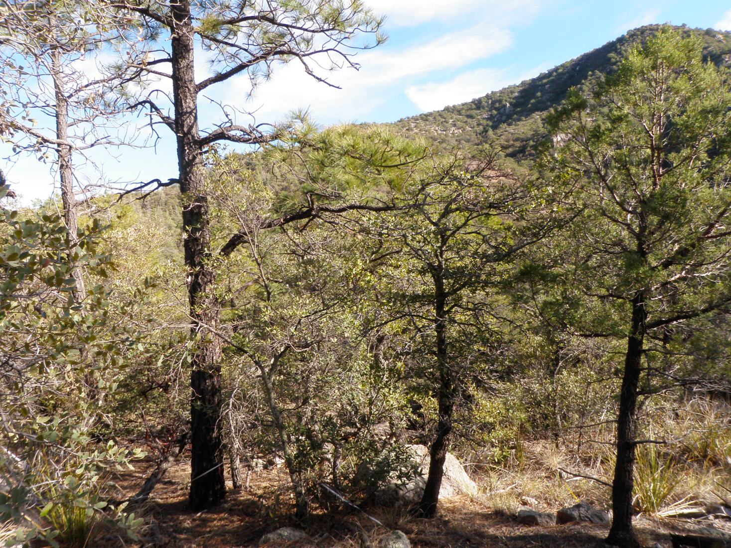
- States on the system list
- Arizona
- Guide region
- Southwest. Editorial grouping of the state that contains the centroid, or the first listed state when the point is offshore.
- Anniversary-table date
- No line under this national park name
Related line in the same table: Chiricahua National Monument, Arizona
- Gross area acres
- 12,024.73
NPS fee acres: 12,022.38. Report date September 30, 2026. Gross area is not the same column as fee ownership.
- Boundary centroid
- 32.0158, -109.3475
Containing shoreline polygon: Arizona. Not an entrance.
- Recreation-visit record
- Highest monthly mean is outside June–August
Highest mean: March. Lowest mean: August. Mean annual total across complete years: 59,960 (10 complete years).
The September 30, 2026 acreage report still titles the unit CHIRICAHUA NM. The October 26, 2026 National Park System list places Chiricahua under national parks. The boundary service retrieved the same day still typed the unit as a national monument.
The monthly record
| Month | Mean | Lowest year | Highest year | Years in the mean |
|---|---|---|---|---|
| January | 4,703 | 2,083 | 5,646 | 10 |
| February | 6,622 | 5,646 | 8,272 | 10 |
| March | 10,922 | 5,995 | 13,458 | 10 |
| April | 7,598 | 747 | 10,552 | 10 |
| May | 4,945 | 1,999 | 6,722 | 10 |
| June | 2,694 | 2,303 | 3,143 | 10 |
| July | 2,548 | 2,375 | 2,763 | 10 |
| August | 2,323 | 1,831 | 2,624 | 10 |
| September | 3,133 | 2,574 | 3,519 | 10 |
| October | 4,928 | 3,931 | 5,484 | 10 |
| November | 4,898 | 4,169 | 5,484 | 10 |
| December | 4,646 | 2,083 | 7,078 | 10 |
How to use this guide
Chiricahua is the newest name on the national park list, and the records do not all use that name yet. The National Park System page updated October 26, 2026, places Chiricahua National Park in Arizona. The park’s own FAQ says Congress redesignated the entire unit through H.R. 6380, signed into law on September 30, 2026. The acreage workbook dated the same day as that signature, and the boundary service retrieved for this site, still title the unit as a national monument.
Use the unit, not the lag in the title. The centroid is the monument-era boundary centroid, which the FAQ treats as the whole redesignated unit. It is not a trailhead among the rock spires. Recreation visits under the unit code include the years before the national park name. They are still the Park Service’s monthly record for this place, not a forecast of how busy a pinnacle will be.
Official pages
These links were checked when the site was built. A working link is not a live feed. If a standard address did not respond, it is omitted.
- Park home
- Plan your visit
- Conditions and alerts
- Fees and reservations
- Directions
- Accessibility
- Maps
- Basic information
- Safety
- Listing on the National Park System page
Nearest other national parks
Distances are great-circle miles between boundary centroids. They are not road distances or travel times.
- Saguaro National Park — about 75 straight-line miles between boundary centroids.
- White Sands National Park — about 184 straight-line miles between boundary centroids.
- Petrified Forest National Park — about 203 straight-line miles between boundary centroids.